
Around Utah in 25 Photos
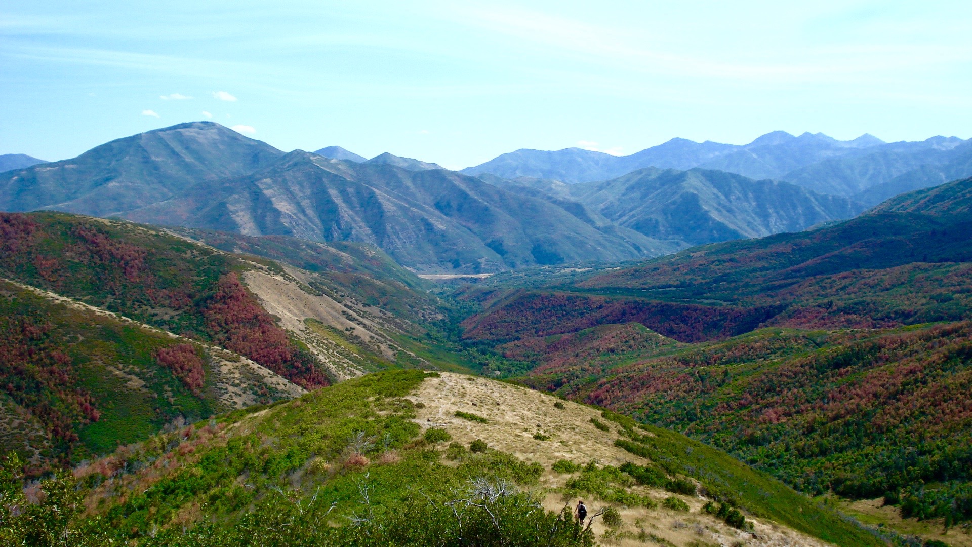
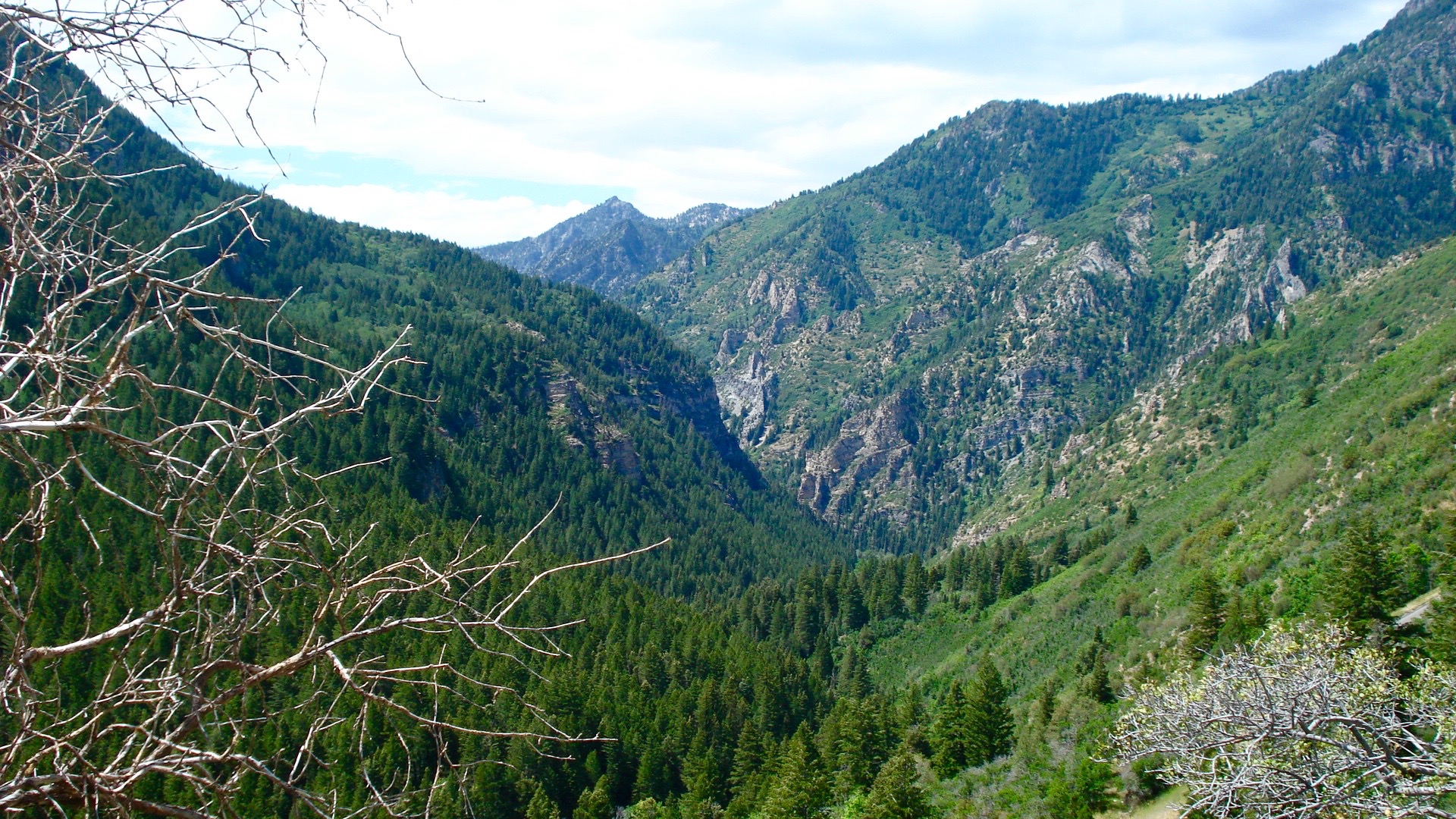
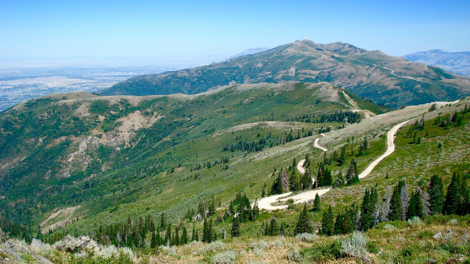
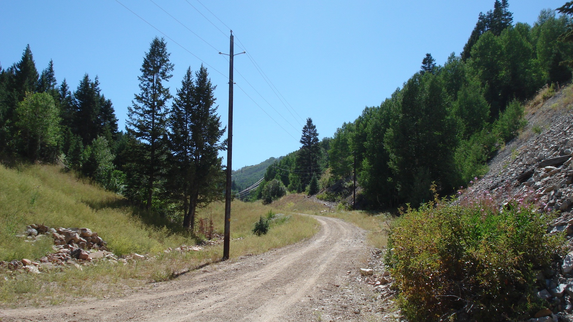
I guess this isn’t precisely a travelogue. Rather it is a composite of more visits to Utah than I can possibly count, all seen in 25 photos. You see, I grew up in Utah, and though I haven’t lived there for 48 years I still visit often. Relatives, good friends, even my oldest son and his family live there. By choice I live in Massachusetts and love it, but I also love Utah. So I thought I would put together a picture show of photos of Utah I have taken over many years, the latest last week. I haven’t included photos of towns and cities and family and friends. I haven’t included photos of skiing and of my beloved Arches, Bryce, Rainbow Natural Bridge, or the high Uintas. All those pictures were taken long ago with film before we all started using digital photography. But I have included photos of mountains. Why? Because I love the mountains of Utah. When I am beside them or deep within the canyons and valleys between them, I feel secure; when I am on top of them I feel exhilarated. My favorite driving is on curvy, narrow roads in the mountains, with steep cliffs down one side, roads where you can drive for several miles and never meet another car. My favorite hiking has been in these mountains where wildlife is plentiful but mosquitoes are not.
My favorite skiing has been in Utah. At the top of a mountain after disembarking from the ski lift but before starting down, I usually look around and think how lucky I am to be there and see such beautiful snow and mountains, a sight that someone who doesn’t ski in Utah will never experience. And speaking of snow, the folks who try to get more tourist business and skiers to come to Utah coined the phrase: “Utah—the greatest snow on earth.” With typically six feet of snow as a base all winter and the softest, finest, driest powder covering the base, I believe the statement may indeed be a fact. The Wasatch Mountain range that runs down the center of Utah, north to south, like a backbone, is the front range of the Rockies. Moisture laden clouds drift across from the West and bump up against that front range. The clouds can’t help themselves; it is an automatic reflex; they hit the tall mountains and dump their snow. All the cities and towns and farms residing along the front range and in the valleys between the mountains survive because of the water provided by the deep winter snow.
But I took all these photos in the summer months, no snow here. The first is of Salt Lake City as seen from mountains to the north of the city. I think you can see my old house in there somewhere. This shot will give you a sense of how close we were to the mountains. Several important canyons emptied through the mountains and into the Salt Lake Valley and the city itself. Each canyon, such as City Creek—almost part of the city, Emigration—the path of the original Mormon pioneers, Parley’s—leading to Park City and Deer Valley ski areas, Millcreek—a little gem of a box canyon, steep Big Cottonwood—leading to Brighton and Solitude ski areas, and glaciated Little Cottonwood—leading to Alta and Snowbird ski areas, had a particular flavor and personality, and I suppose folks each had a favorite canyon to visit, to camp in, to hike, and to ski. I suppose that is still the case.

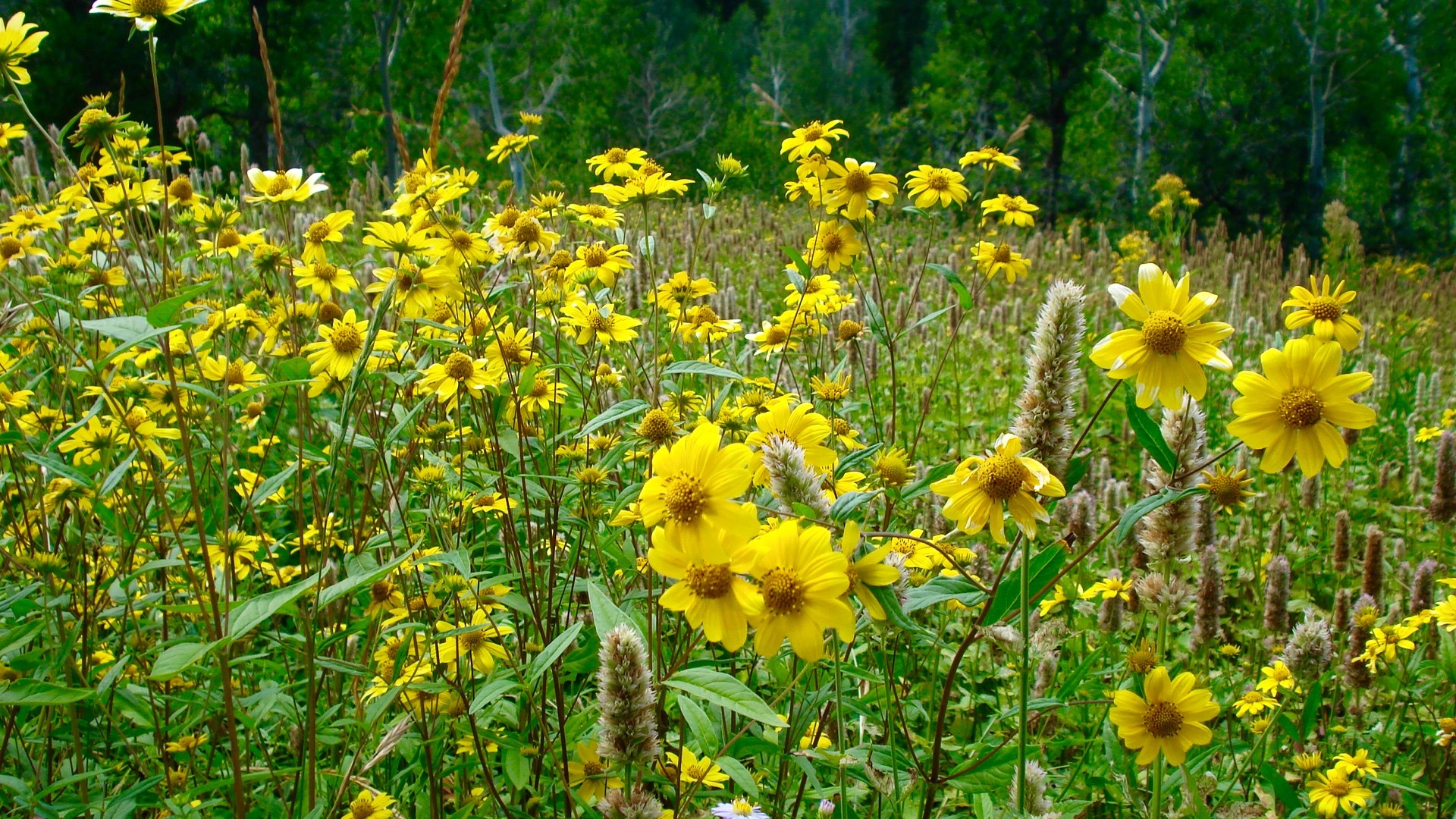
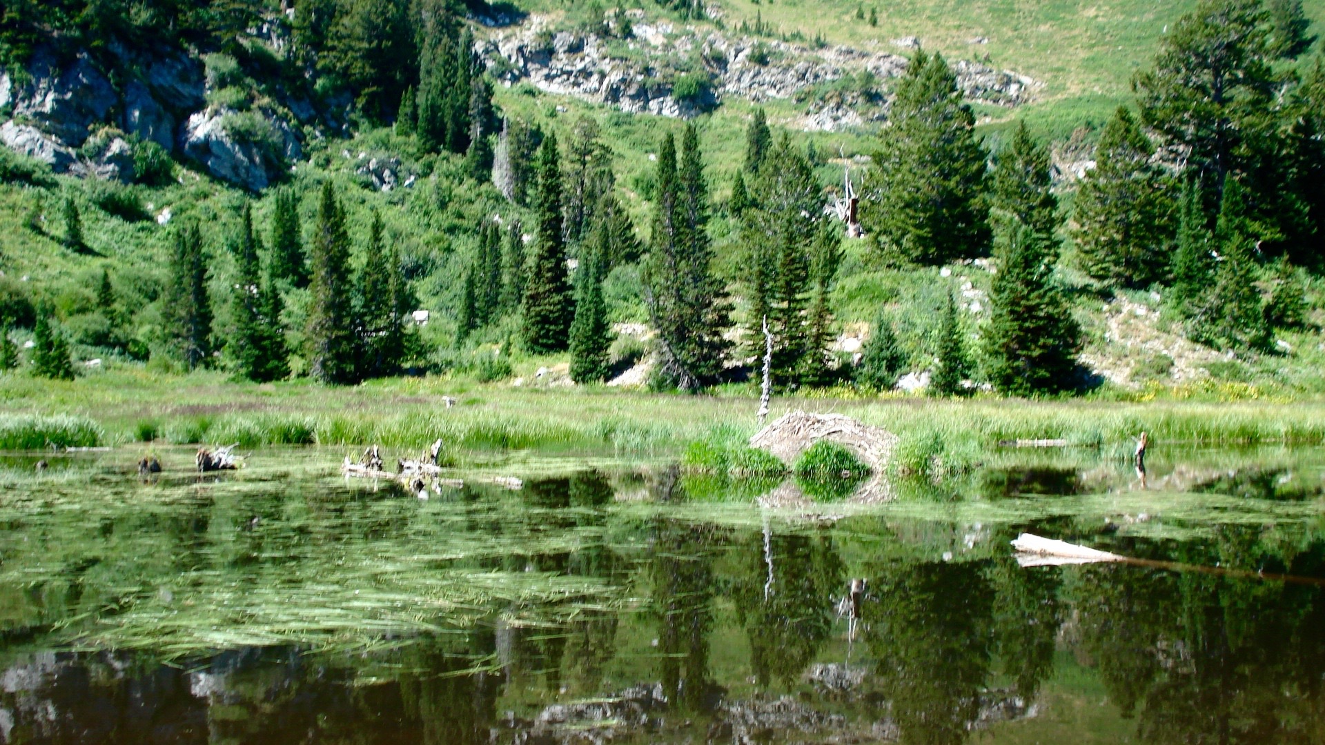
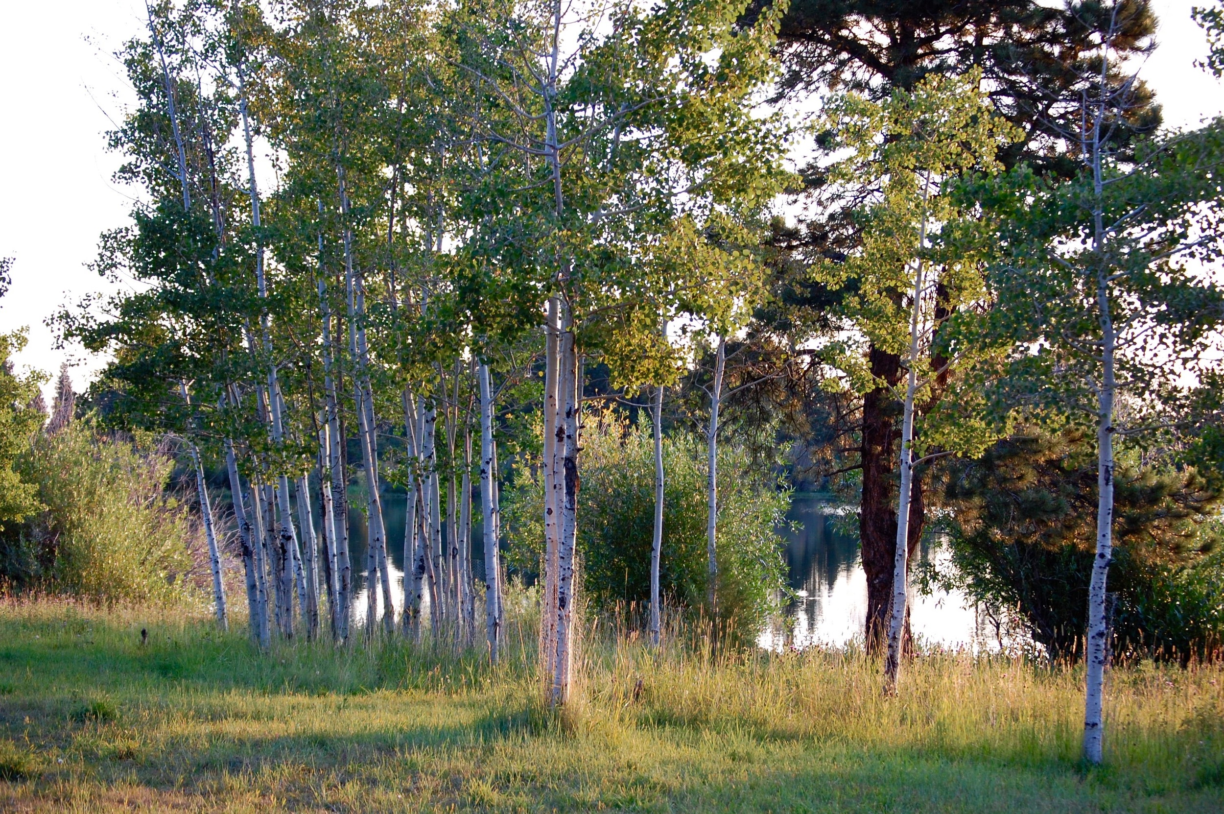
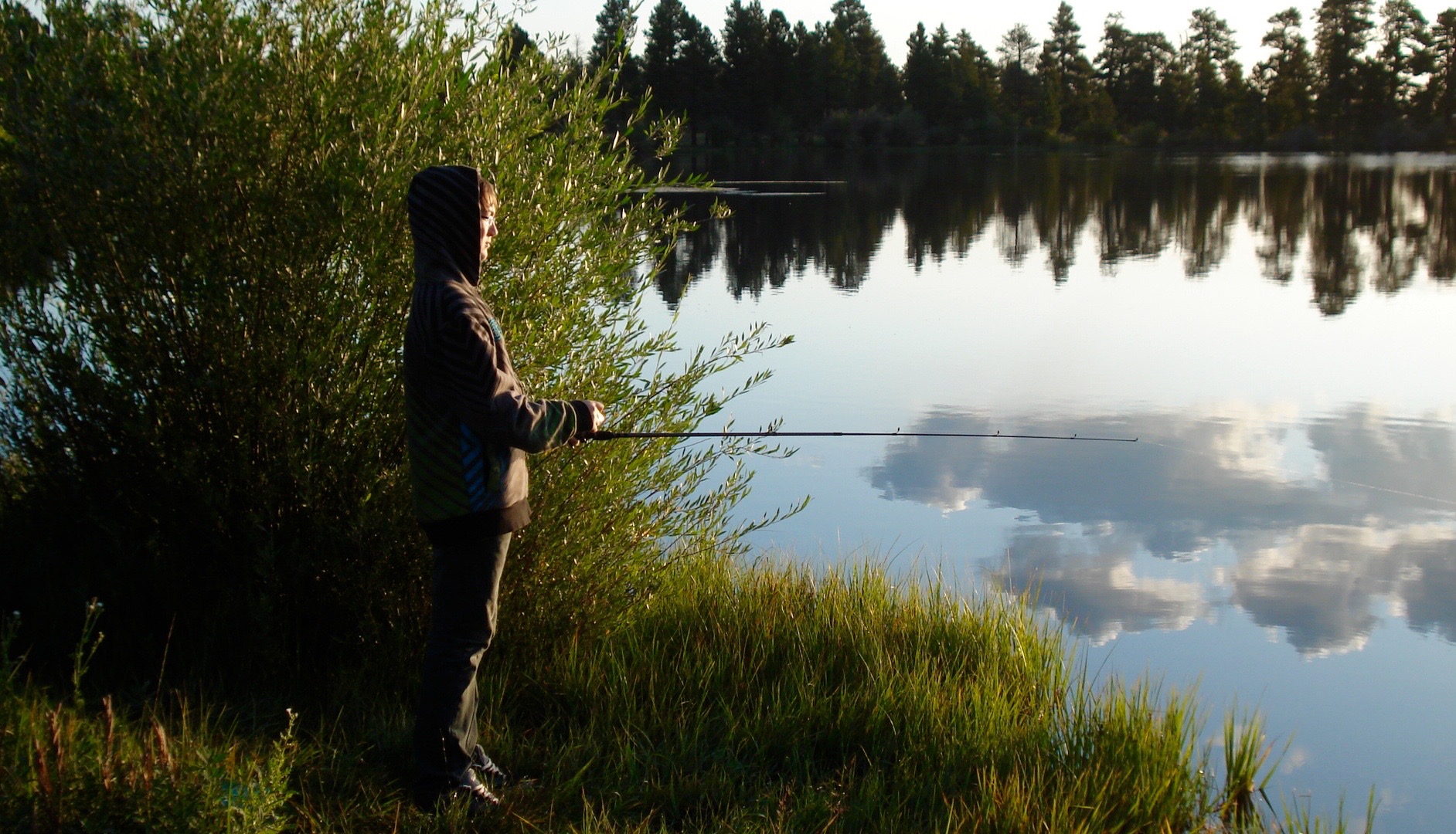
The first set of photos is of mountains in north and central Utah, the areas I knew best. I have included a photo of a mountain meadow of yellow wild flowers and another of a beaver pond. (If you look closely you can see the beaver house.) I then included a photo of a stand of young Aspens next to a pond that was teaming with rainbow trout. The last photo in this set is of my youngest son, who got up early in the morning when there was a chill on the ground and mist rising from that pond and went out on his own to fish. He caught a few beautiful rainbow trout, but on that trip we caught and released them. Well, you get the picture. See what you think.

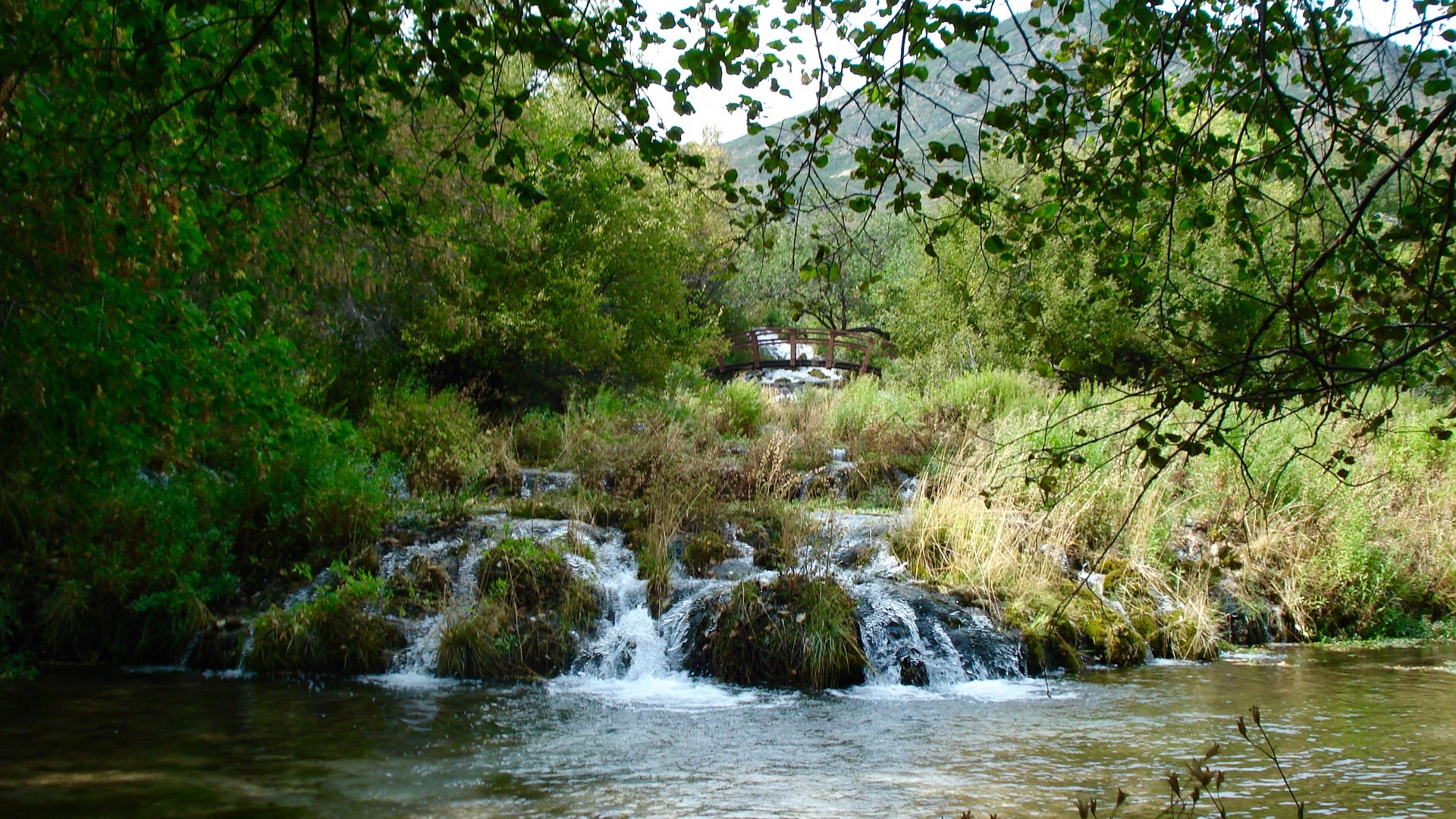
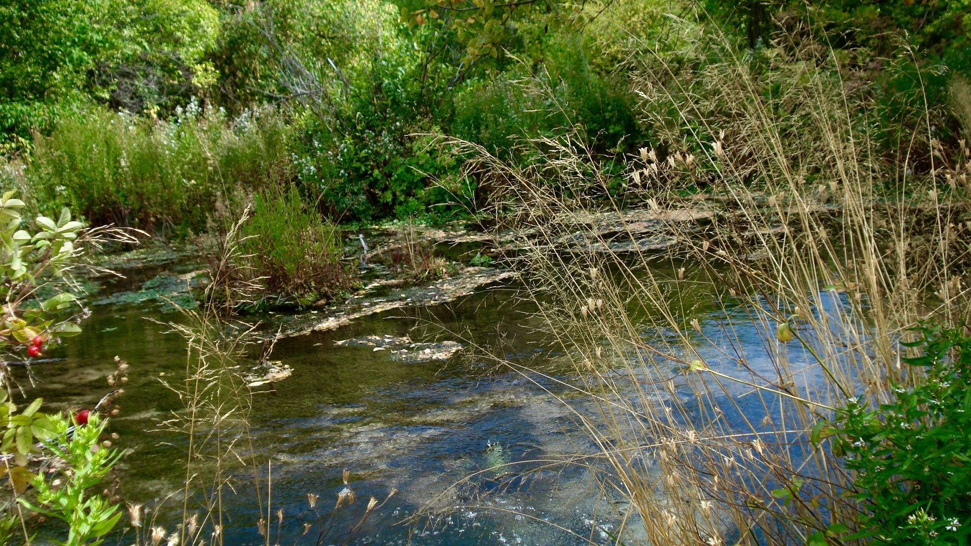
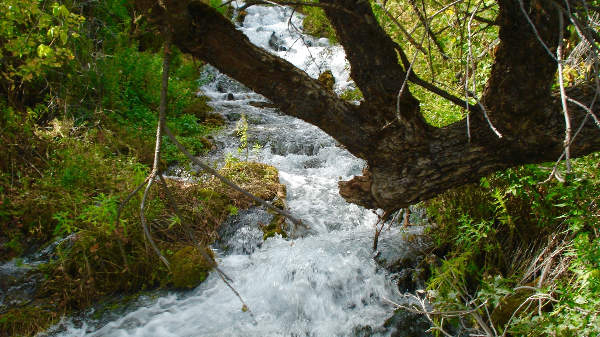
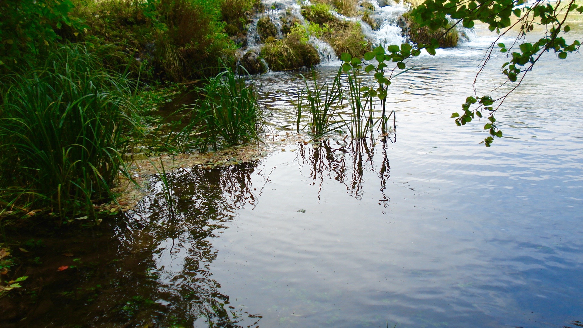
At the summit of a mountain pass between American Fork Canyon and Sundance Ski Resort on the front side and Midway and Heber City in beautiful Heber Valley on the backside is a natural spring called Cascade Springs—an almost secret garden paradise in the tops of the mountains, approachable by dirt road, which is closed in the winter. I have included photos of our visit there last week.

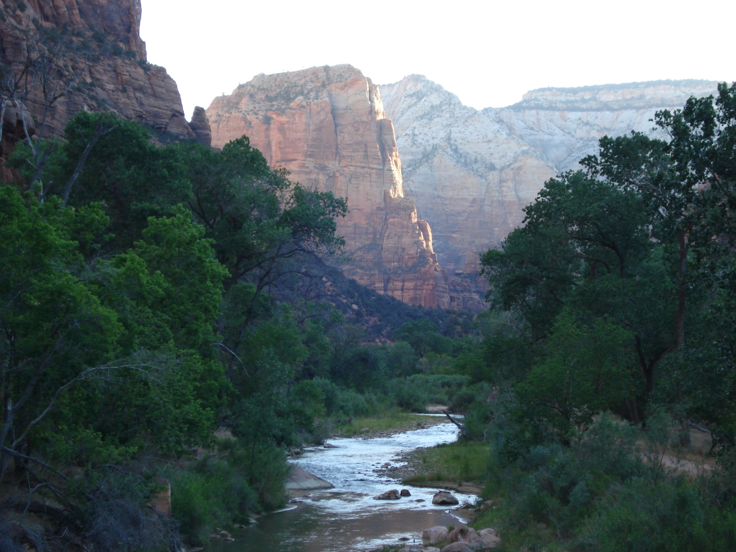
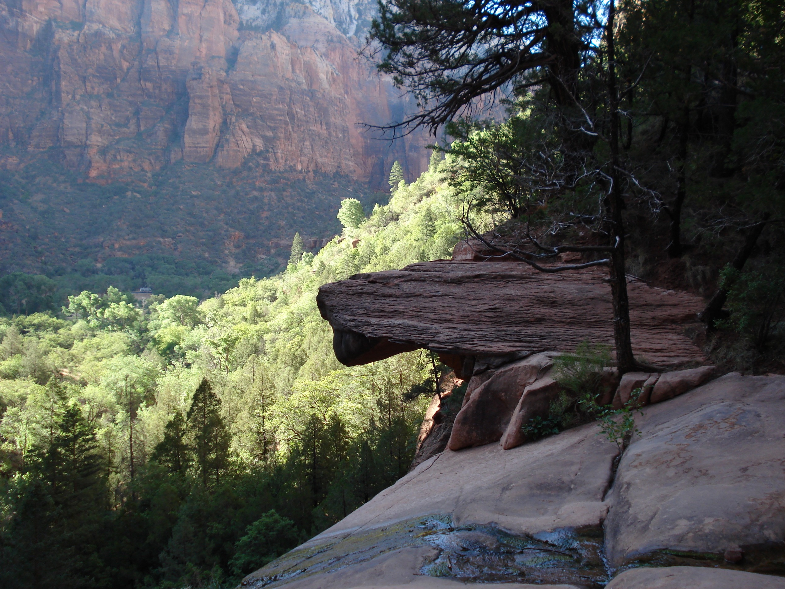
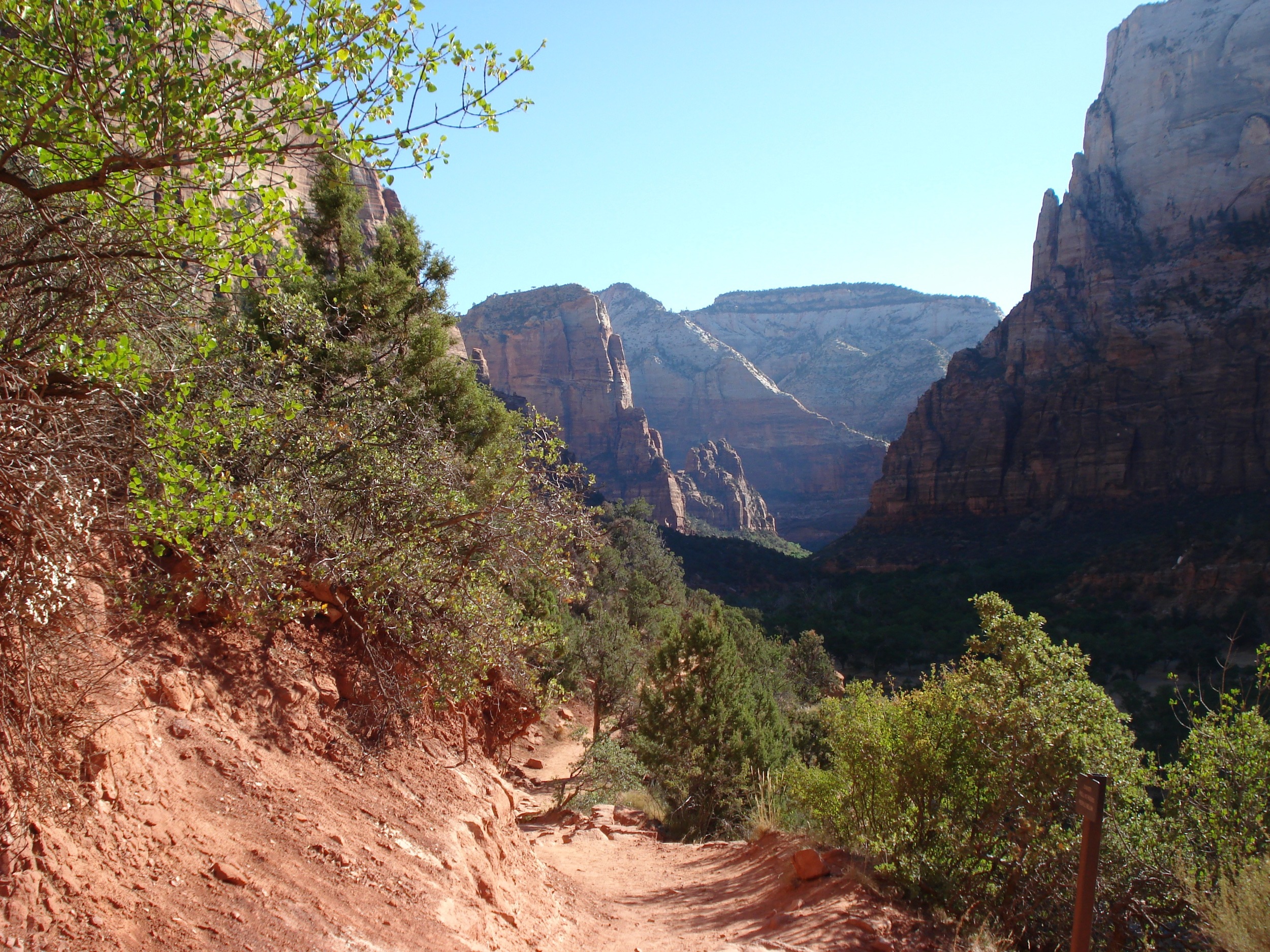
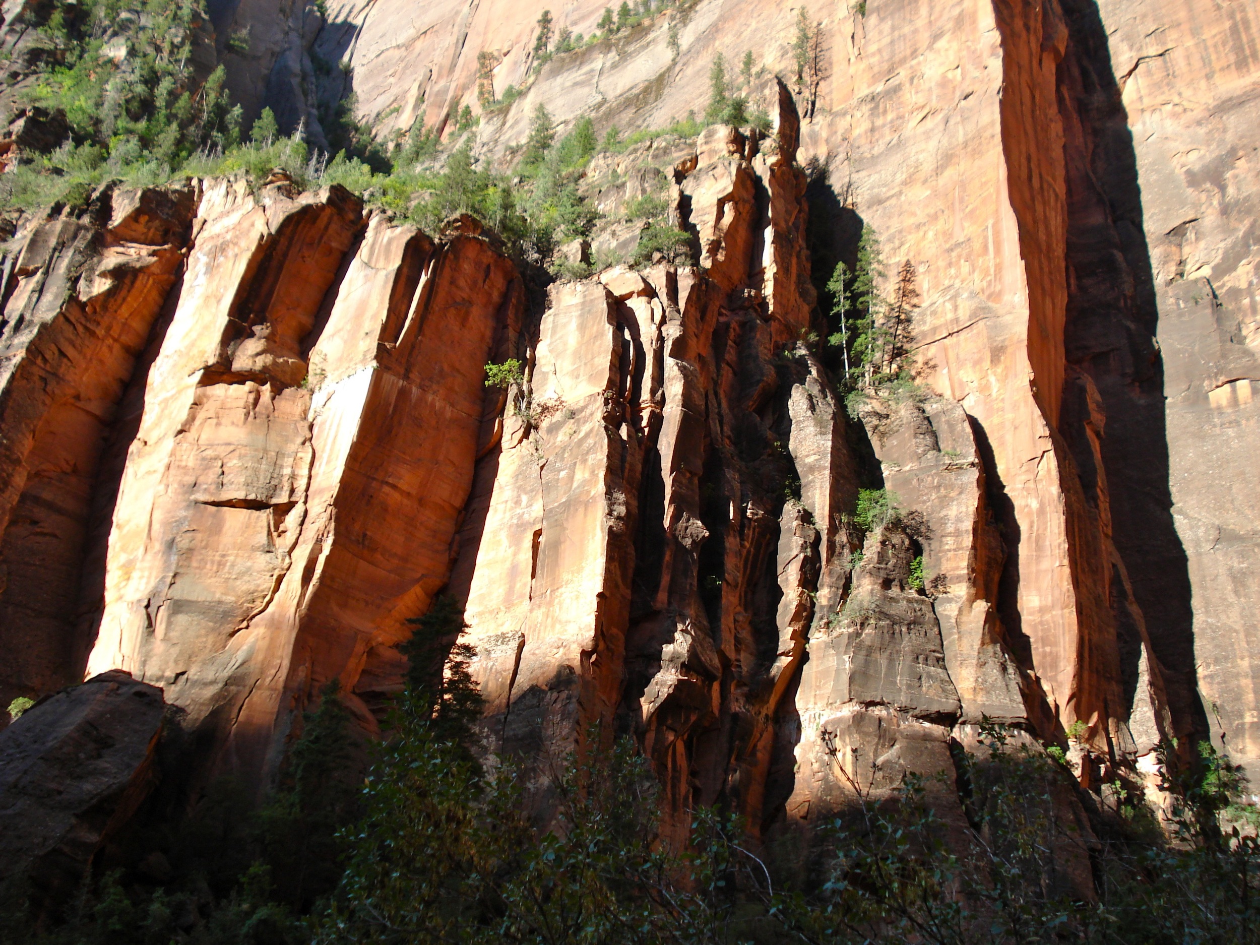
Next, I have included photos from Zion National Park, one of my all time favorite places on earth. If you get there, hike in the mountains and hike up the Virgin River through the Narrows.
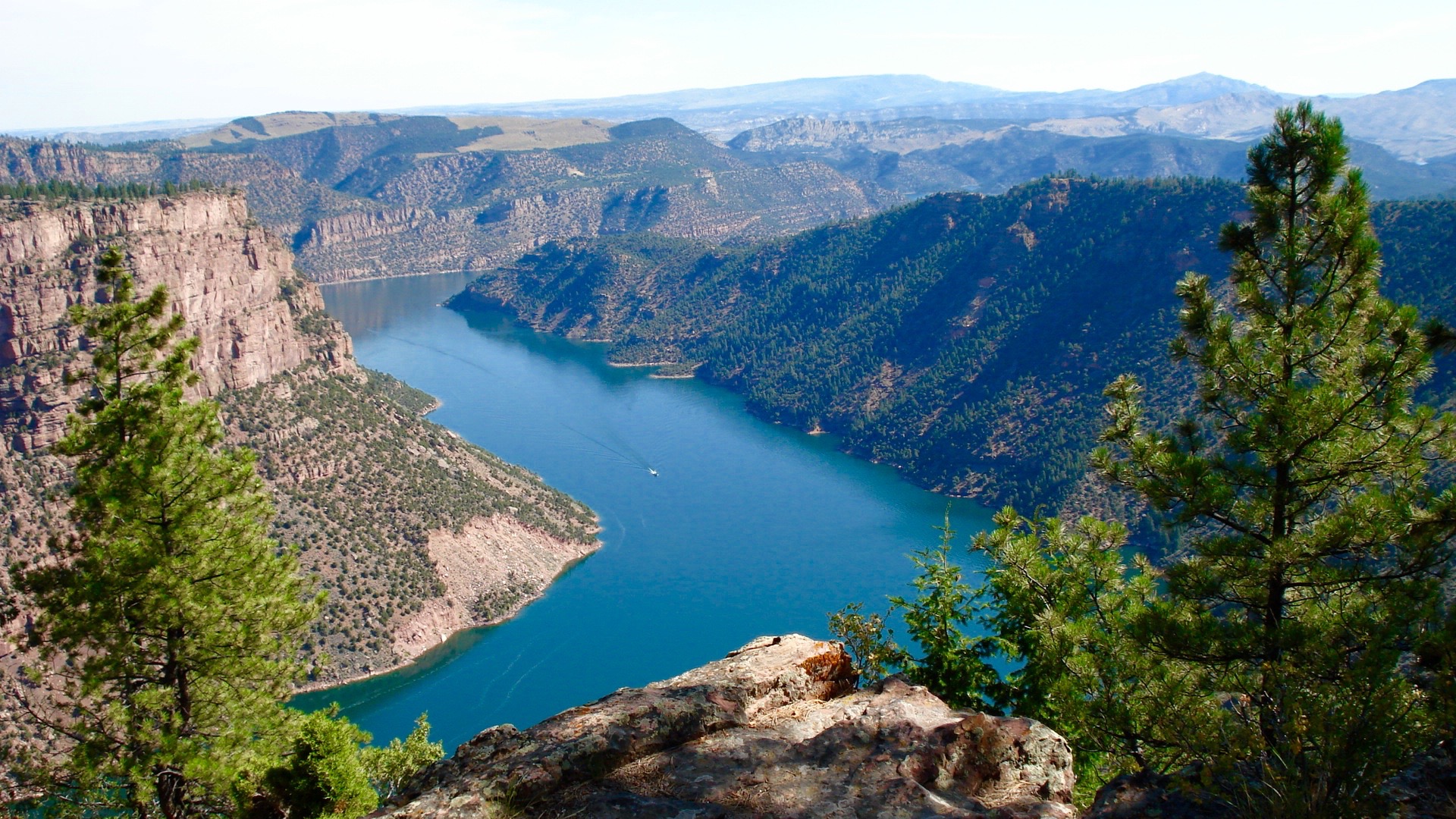
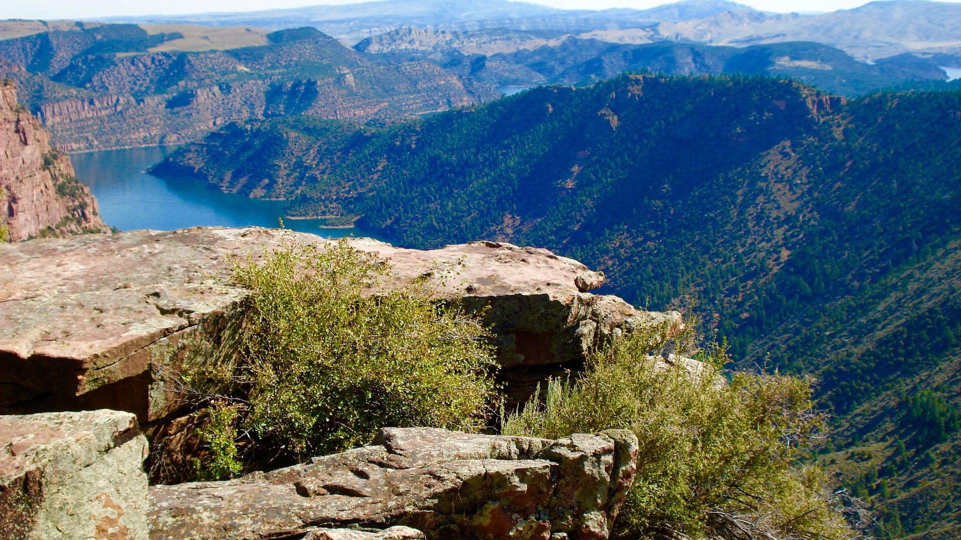
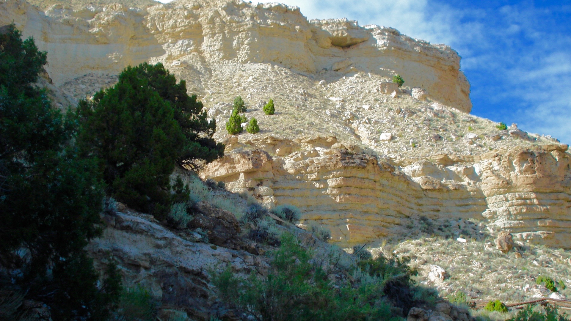
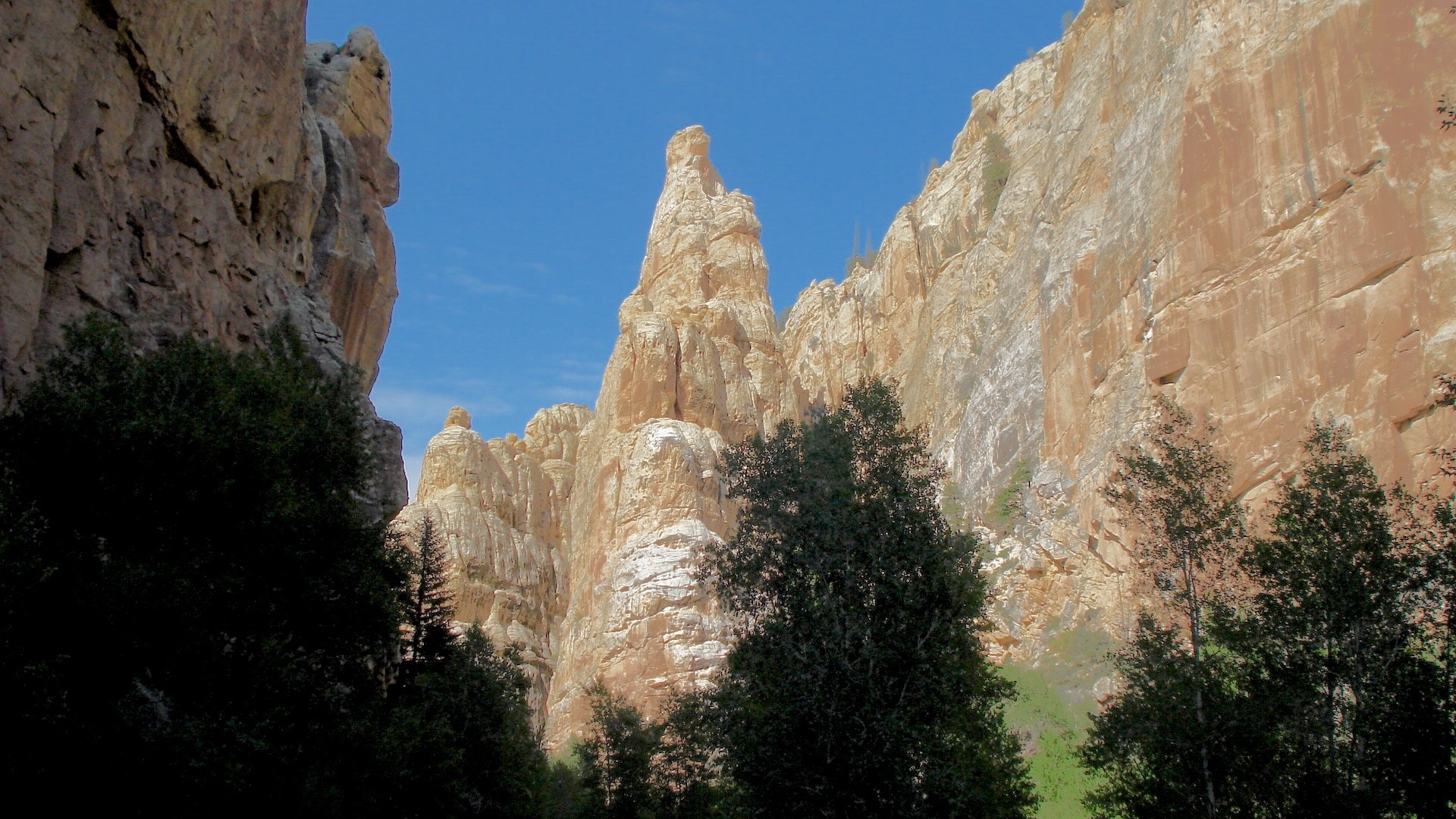
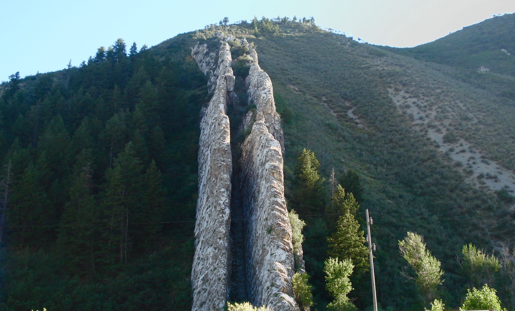
Although Utah is known for the spectacular rock formations in the southern part of the state, with red being the dominant color, there are other spectacular rock formations up north. After all, they don’t call them the Rocky Mountains for nothin’. My last set of photos are of areas we hiked in around Flaming Gorge in the northeast corner of the state, just west of Colorado and south of Wyoming. And then I included a photo of Devil's Slide in the mountains east of Ogden, where my dad grew up.
And I end with my 25th photo (ok, I included one of family). We were out for a ride in the mountains of northern Utah. Happy trails to you.
